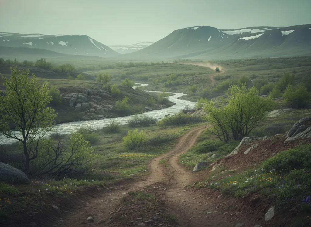
The Shawnee National Forest encompasses 289,000 acres of the Illinois Ozarks: the southernmost reach of the Ozark Plateau and the only national forest in Illinois, occupying the hill country of Saline, Gallatin, Pope, Hardin, Johnson, Union, Alexander, Massac, Pulaski, and Jackson counties in the narrow wedge of southern Illinois between the Ohio and Mississippi rivers. The OHV trail system operates on designated routes through both of the forest's ranger districts, threading through the rugged sandstone bluff and limestone hill terrain that makes southern Illinois the most topographically distinctive landscape in a flat state. The Shawnee's geological character is extraordinary for the Midwest: the Garden of the Gods Wilderness, the Rim Rock National Recreation Trail, and the Cave-in-Rock limestone karst define a landscape of sandstone monoliths, river bluffs, and cave systems that owes more to the Ozarks and the Appalachian Plateau than to the glaciated plains of central Illinois. The Ridge Rider OHV trail system in the Elizabethtown area (Hardin County) provides the most developed riding terrain, with designated routes in the sandstone ridge country above the Ohio River on some of the most scenic terrain accessible by OHV in the Midwest. The Mississippi River bluff country in Alexander and Union counties provides a second distinct riding landscape on the forest's western edge. The Shawnee serves the St. Louis metropolitan area (90 minutes via I-57), the Springfield and Carbondale Illinois markets, and the Evansville Indiana and Paducah Kentucky markets that converge at the southern Illinois confluence region. Elizabethtown Ranger District (618-287-2201) and Murphysboro Ranger District (618-687-1731) manage current OHV route conditions.
Hours
Open year-round on designated OHV routes. No day-use fee on National Forest land. Illinois does not require OHV registration on National Forest roads.
Phone
618-253-7114Trip openings, seasonal updates, and the occasional deal, straight to your inbox.
FAQ
Everything you need to know before you get started.
Have a question, or ready to book? Reach out and we’ll get right back to you.